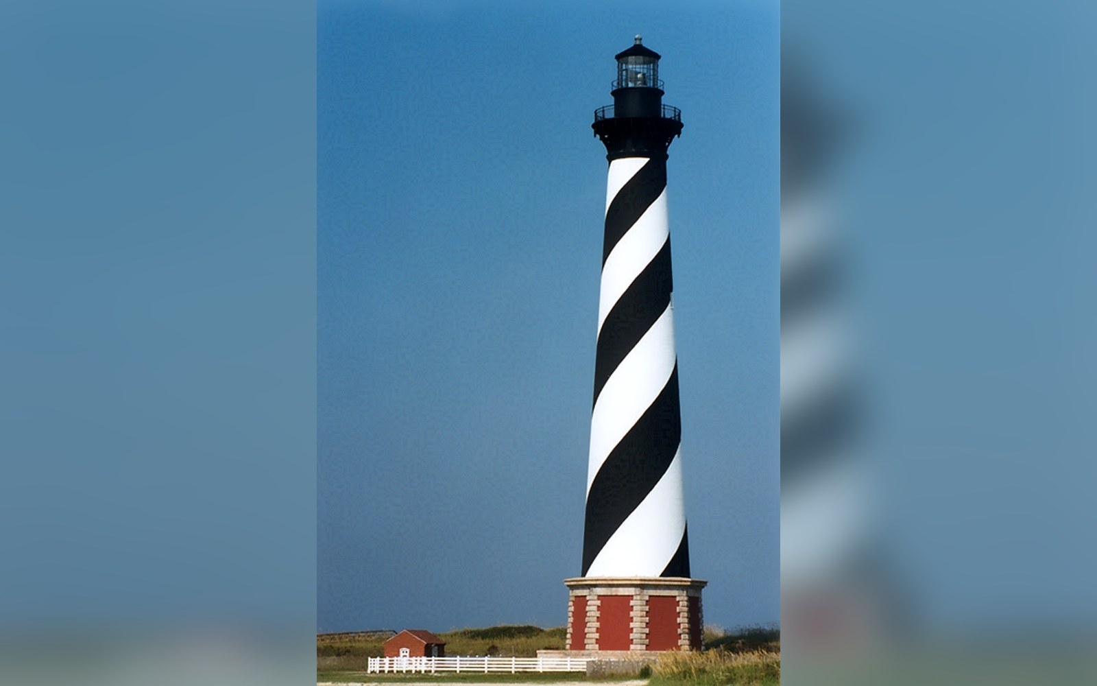
The most famous lighthouse on the Atlantic coast was moved in 1999 because the island it stood on had moved without it.
The Cape Hatteras Lighthouse stands 198 feet tall, making it the tallest brick lighthouse in the United States. It was built in 1870 on a spit of sand that geologists understood, even then, to be in motion. A barrier island is not a fixed landform with a coat of sand on top; it is a long, narrow accumulation of sediment, entirely rearrangeable by storm surge, longshore drift, and the slow creep of sea-level change. The sand arrives, deposits, and departs in a cycle that has been running since the last glacial maximum, when sea levels dropped far enough to expose the continental shelf and then rose again, pushing the barrier chain landward as they did. The Outer Banks are where that process is now.
What the lighthouse's builders could not do was move it when the island moved. The structure went up roughly 1,500 feet from the waterline. By the 1930s that buffer had narrowed considerably. By the 1980s the ocean was closing in at a rate that alarmed the National Park Service, which manages Cape Hatteras National Seashore. By 1987 the nearest waves were striking within about 100 feet of the foundation. Groins, sandbags, and seawall experiments had been tried at intervals across the twentieth century; each intervention altered the sediment budget of adjacent beach, often making adjacent erosion worse. The island was doing what barrier islands do, and a 4,800-ton lighthouse built on a brick-and-iron foundation was not doing it with them.
The decision to relocate the lighthouse was formally recommended by the National Academy of Sciences in 1988, following a study commissioned by the Park Service. It was not immediately acted on. A decade of debate followed — some local residents opposed the move, arguing the lighthouse should be protected in place even if it could not be saved there indefinitely. The Park Service ultimately selected relocation, and in 1999 the International Chimney Corporation and Expert House Movers began the work.
The engineering was methodical. The lighthouse's brick foundation was separated from the granite slab below it; hydraulic jacks lifted the structure; a steel mat was assembled beneath it; and a system of steel rollers set into temporary rail tracks took the load. The lighthouse moved at an average of roughly 125 feet per day across a route of roughly 2,900 feet, curving slightly to follow the terrain and clear the Keeper's Quarters. The whole transit took twenty-three days. Nothing cracked. The original iron staircase, the 1870 brickwork, and the first-order Fresnel lens — by then a museum piece, the active light having been converted — all survived the move intact. The lighthouse came to rest on ground that, as of 1999, put the ocean approximately 1,600 feet away: close to the original safety margin its builders had intended.
The operation cost approximately $12 million. It remains the largest lighthouse relocation in American history.
The move was a solution to a specific moment in the island's migration, not a permanent fix. Barrier islands migrate landward as sea levels rise, the process driven by overwash during storms depositing sand on the back side of the island while the ocean continues to erode the ocean-facing shore. The net effect, measured over decades rather than years, is translation — the whole island moving west, toward the sound. A lighthouse on the ocean side of a migrating barrier island will, given enough time, find the ocean at its door again.
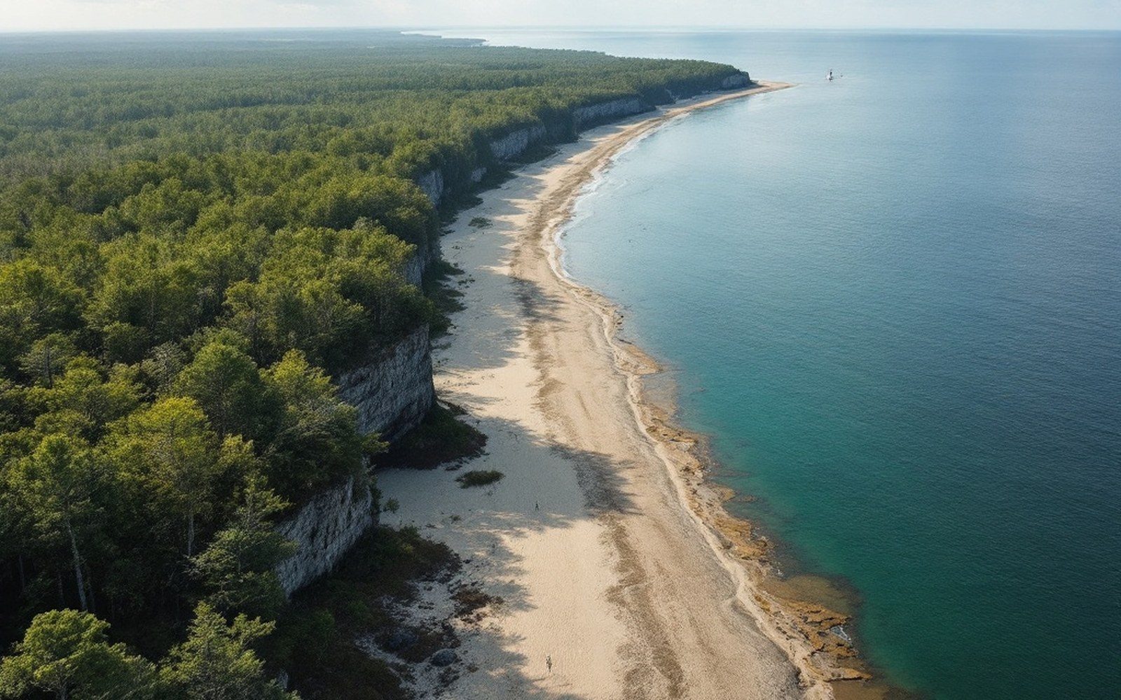
The rate at which that happens depends on storm frequency, storm intensity, and how fast sea levels are rising — all of which are variables that were accelerating at the close of the twentieth century and have continued to do so. The National Park Service monitors the shoreline at Cape Hatteras continuously. The 1999 relocation bought the lighthouse time measured in decades, not centuries.
The Fresnel lens is worth a separate mention. The original first-order lens was removed from active service when the Coast Guard automated and modernized the optic; it is now displayed in the museum at the Lighthouse. The working light uses a modern optic and remains an active Coast Guard aid to navigation. Diamond Shoals, the submerged sand shoals extending southeast from the cape, are among the most hazardous waters on the Atlantic seaboard — the reason the lighthouse was built where and how tall it was in the first place. More than 600 ships are recorded as lost in those waters, which earned the cape the name "Graveyard of the Atlantic."
Cape Hatteras sits near the middle of the Outer Banks, the 200-mile chain of barrier islands that separates Pamlico Sound from the Atlantic. The Banks are not geologically uniform: they are interrupted by inlets that open and close on storm timescales, and their migration rates vary by location. Cape Lookout, to the south, is a similar cape on a similar barrier system and faces the same long-term dynamic. Both capes mark points where the shoreline changes direction and where longshore currents converge, producing the sediment transport patterns that built the shoals — and that continue to move the sand around.
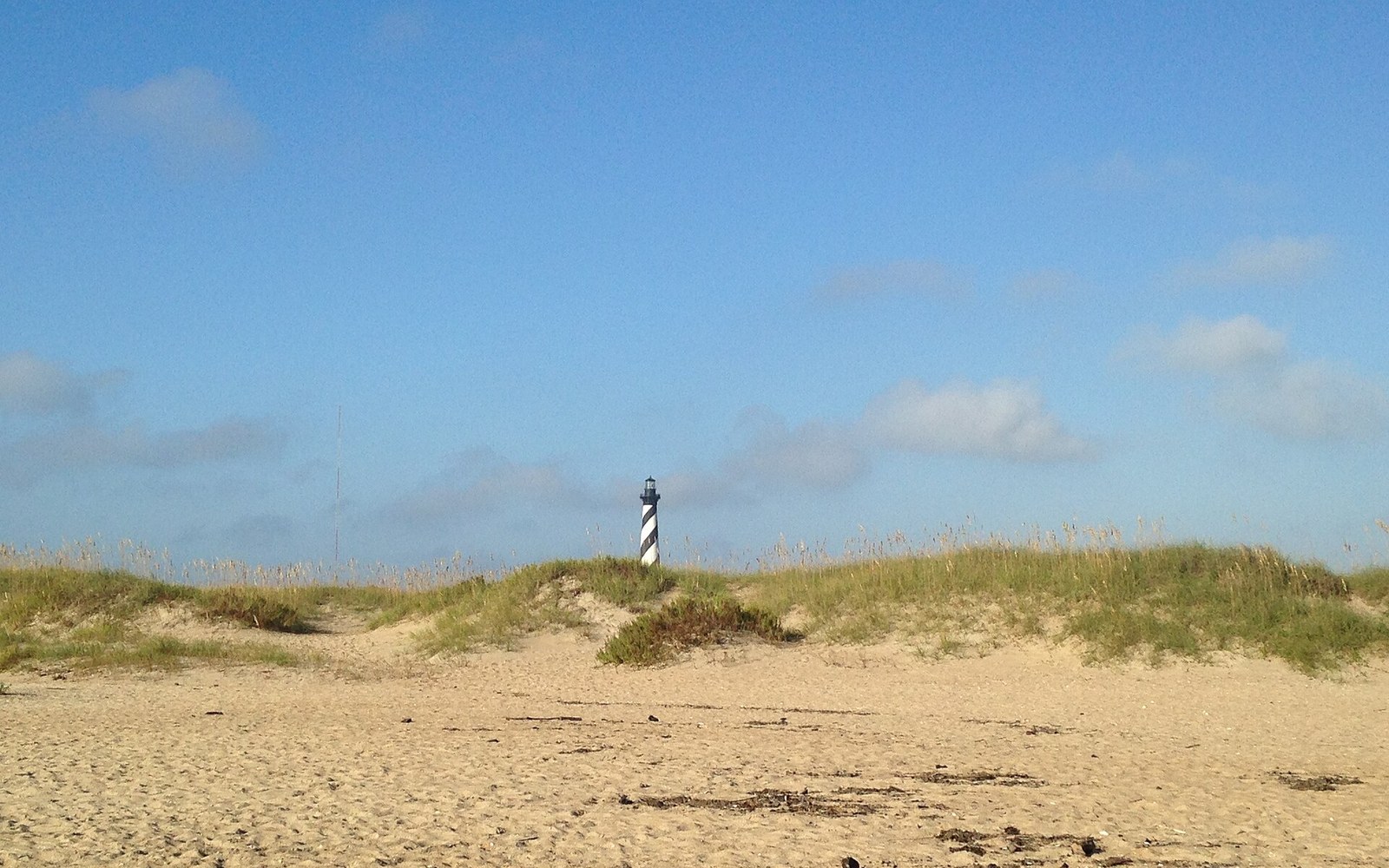
The 1999 relocation became a case study in managed retreat: the acknowledgment that a fixed structure on a mobile landform requires periodic reconsideration of where it stands. It is a logic that applies well beyond lighthouses. As the Outer Banks continue to migrate and sea levels rise, the engineering question the lighthouse posed in 1999 — can you move it, or do you hold your ground until you lose it — is being asked of roads, communities, and infrastructure along the entire coast. The lighthouse answered it cleanly. Pick it up. Walk it inland. The island will remind you eventually that this, too, is temporary.