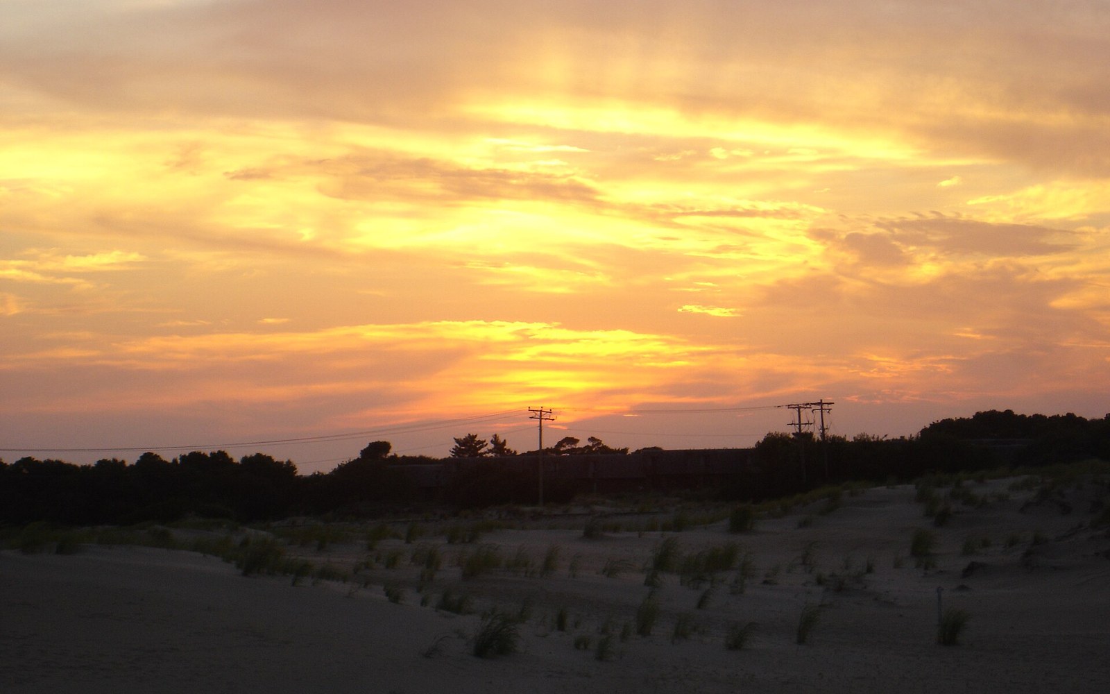
Jockey's Ridge has been surveyed six times since 1974. The number keeps dropping.
At its peak, Jockey's Ridge stood around 110 feet above sea level — the tallest active sand dune on the Atlantic coast of the United States. North Carolina State Parks and researchers have measured it repeatedly since the 1970s, and the trend is consistent: the dune is losing height, and it is moving. Surveys conducted through the late twentieth century recorded drops of several feet per decade. By the early 2000s, the crest had fallen to roughly 80 feet in some measurements, though the exact figure shifts with the season and the wind direction, since the dune is never quite the same shape twice.
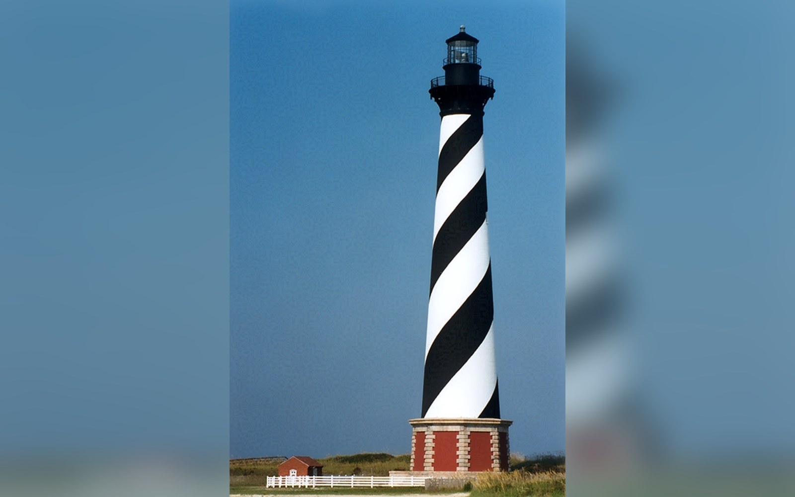
In 1999 the lighthouse was moved 2,900 feet on rails because the sea had come to it. The barrier island had shifted underneath a fixed object.
Read the piecePhoto: Cape Hatteras Lighthouse, NC Before 1999 Move ktl · Wikimedia CommonsThat restlessness is the point. Jockey's Ridge is an medano — an isolated, unvegetated dune mass with no fixed slip face — and it migrates. The dominant southwest winds push sand northeast at a rate of several feet per year, which means the dune's footprint slowly advances across the landscape. Houses on the downwind edge of the park have been swallowed to their rooflines. The Outer Banks migrate at the regional scale; Jockey's Ridge migrates at the neighborhood scale, and the two processes run on the same fuel: sand in motion with nothing stable underneath.
The sediment source is the beach, carried inland through a cycle that has been running for thousands of years. What interrupts it is development — hard surfaces, planted vegetation, any structure that stops sand from moving freely. The Outer Banks were developed aggressively through the mid-twentieth century, which interrupted sediment supply at multiple points. The ridge, starved of new material from the west and south, exports more than it receives.
In 1973 a developer proposed grading the ridge for a residential subdivision. The proposal was straightforward enough for the era: level the terrain, build on it. What happened instead has become the founding story of the park. A local woman named Carolista Baum positioned herself in front of the machinery. The bulldozer stopped. The moment set off a campaign that gathered enough signatures and political pressure to halt the project, and in 1975 the state of North Carolina established Jockey's Ridge State Park, the first park created by a citizen petition in North Carolina's history.
The preservation protected the dune itself but did not stop the physics. Sand does not acknowledge park boundaries, and the downwind migration has continued. The park has occasionally attempted to redirect or slow the sand's advance to protect infrastructure on its margins, but the dune's overall trajectory — northeast, lower — has not changed. What the park did preserve was the open, unvegetated surface that makes the dune legible as a landform. Without it, the ridge would have been fixed in place and grassed over long ago, a small hill indistinguishable from any other filled ground on the Outer Banks.
The USGS coastal monitoring program has tracked shoreline and landform change along the Atlantic coast for decades, and Jockey's Ridge is one of the more studied features in that record. The dune's height loss is real but not linear — wet years slow the process, dry windy years accelerate it. What the long-term record shows is that a dune system cut off from its sediment supply deflates. The question is not whether Jockey's Ridge will continue to shrink but how quickly, and what it will look like when the sand that remains has finished its migration east and north into Roanoke Sound.
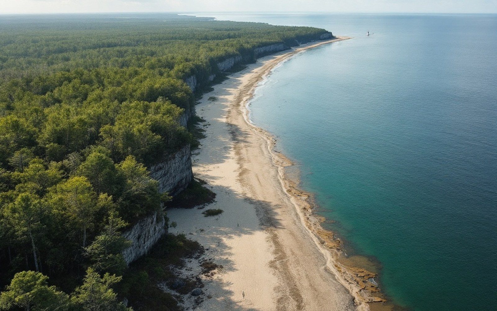
The ridge was never static. Before development hemmed in the Outer Banks, it would have grown and shrunk with different wind regimes across centuries. The measurement record since 1974 captures only a recent chapter — but it is the only chapter we have in numerical form, and the numbers run one direction.