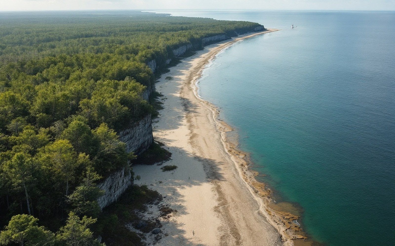
The Outer Banks don't hold still. The sand that forms them was always moving, and the line on the map has always been a temporary agreement.
From the highway, the Outer Banks look fixed — a ribbon of land running roughly southwest to northeast between Currituck Sound and the Atlantic, the same ribbon it has always been. It is not. A barrier island is a narrow wedge of sand sitting in a dynamic balance between wave energy on the ocean side and lagoonal calm on the sound side. That balance shifts constantly, and across centuries, it loses to the ocean. The Banks as a whole are migrating landward, rolling over themselves the way a treadmill belt rolls, with sand picked up from the ocean face and deposited in the sound, and on the marsh behind it.
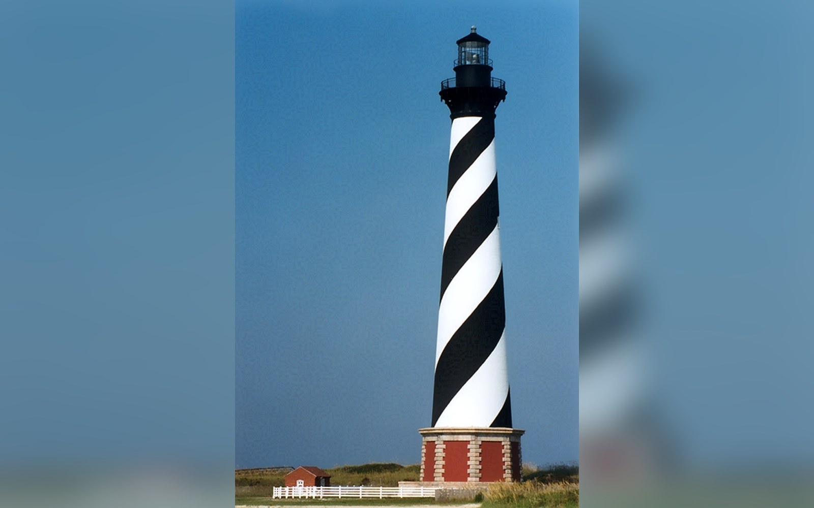
The rate of that landward migration is not uniform, but USGS measurements of shoreline change along the Outer Banks have tracked erosion on the ocean side running at an average of several feet per year along exposed stretches, with some sections losing ground far faster. Cape Hatteras, the easternmost point on the coast, is among the most exposed. The lighthouse that marked it — built in 1870 — stood comfortably back from the water when it was new. By 1999, the sea had come close enough that the structure was moved 2,900 feet inland on a system of rails and rollers, the largest lighthouse relocation in American history.
The inlets cutting through the Banks — Oregon Inlet, Hatteras Inlet, Ocracoke Inlet and others — are not permanent features. They are punctuation marks left by storms. A hurricane drives a surge across the island's narrow neck, cuts through the sand, and leaves a channel. Sometimes that channel silts back in within years; sometimes it stabilizes and persists for centuries. Ocracoke Inlet has been navigable since at least the early eighteenth century and was once the busiest port entry in the colony. Oregon Inlet, by contrast, was opened by a hurricane in 1846 and did not exist on any earlier chart. It is named for the first vessel to pass through it: the side-wheel steamer Oregon.
Inlets are not static once opened. They migrate. Oregon Inlet has moved steadily southward since 1846, carrying the navigable channel with it, which is why the bridge crossing it has required repeated dredging to maintain depth on one side even as the inlet reshapes itself on the other. The sand that moves through an inlet during a tidal cycle is measured in hundreds of thousands of cubic yards annually — material the inlet is constantly borrowing from one shoreline and lending to another.
What this means for any map is that it carries a timestamp even if it shows none. The North Carolina coast surveyed by the United States Coast Survey in the nineteenth century and the same coast as measured by NOAA today are recognizably related but do not agree in detail. Inlets that were open are closed; shoals have moved; the width of the island at any given point has changed. Diamond Shoals, the submerged sandbar extending southeast from Cape Hatteras that has wrecked ships for centuries, shifts its position and depth from year to year.
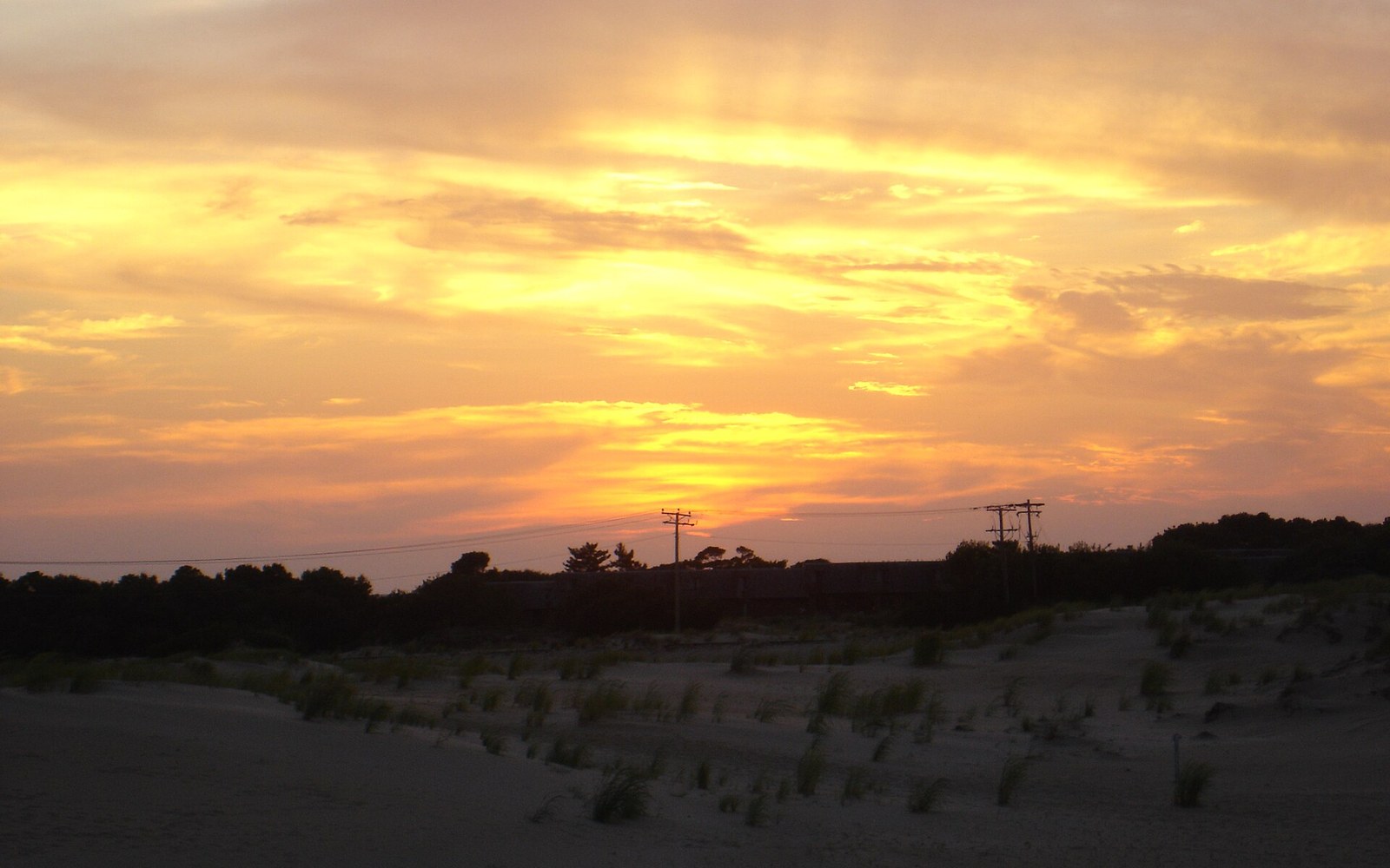
The Outer Banks are geologically young — they formed as sea level rise slowed after the last glacial maximum, within the last several thousand years — and they will continue to change as long as the Atlantic is driving waves against them. The barrier-island system stretching from Virginia down through Cape Lookout National Seashore is not a coastline in the sense of a fixed edge. It is a coastline in the sense of a conversation: between the energy of the ocean, the shelter of the sound, and the sand that keeps moving between them. Driving it, what you are passing through is a process that was already underway before anyone named it, and will be long after any current map is out of date.