A professor, a politician, and a barometer: the argument that cost one of them his life
Before anyone put a number to it, the Black Mountains were simply understood to be the high country — a sprawling massif in the Southern Appalachians that rose above everything around it, running northeast of Asheville in a long, forested ridge. Elisha Mitchell got there first with instruments. A professor of mathematics and natural philosophy at the University of North Carolina in Chapel Hill, Mitchell made several trips into the Black Mountains beginning in 1835, carrying a barometer up slopes that had no clear trails and no reliable maps. By the late 1830s he had published a figure claiming the highest summit exceeded all other peaks in the eastern United States — a claim that was genuinely extraordinary and, for a time, accepted.
The barometric method Mitchell used was the standard technique of the era: measure atmospheric pressure at the base and the summit, apply a formula relating pressure to altitude, and report the result. It was not crude, but it was not precise either. Different barometers calibrated slightly differently. Temperature affected the readings. A storm moving through could throw everything off. Mitchell made multiple trips precisely because he knew the measurements needed checking, and each trip produced figures close enough to sustain the claim but never identical. The history of barometric surveying in this period is partly a history of careful men working with instruments that were almost good enough.
What might have remained a footnote in Appalachian geography became a public dispute when Thomas Clingman entered it. A lawyer, politician, and eventual Confederate general, Clingman was also a serious amateur naturalist who knew the Southern mountains well. He had climbed in the Black Mountains himself and by the 1850s was arguing, with considerable force and some technical basis, that Mitchell had not in fact stood on the highest point — that Mitchell had measured a subsidiary summit and that the true peak lay elsewhere. Clingman further claimed that he, not Mitchell, had first determined the height of what he considered the genuine high point, and that Mitchell's published priority was therefore compromised. The argument was fought partly in scientific correspondence and partly in the newspapers, which gave it an audience well beyond the small circle of men who could evaluate the barometric data.
Mitchell, who was then in his sixties, felt the attack on his priority keenly. He had devoted the better part of two decades to the claim that the Black Mountains were the highest ground east of the Mississippi, and he was not prepared to concede it to a politician whose scientific credentials were, in Mitchell's view, thinner than his own. In the summer of 1857, Mitchell returned to the Black Mountains to re-examine the summit and settle the question with fresh measurements.
He did not come back. On the evening of June 27, 1857, Mitchell failed to return to camp, and a search party went out. They found his body about ten days later at the base of a waterfall — a falls since named Mitchell Falls — where he had apparently slipped in the dark or in wet conditions on a descent he had made before but not in those circumstances. He was sixty-four years old. Whether he had re-measured the summit, and whether those measurements were recovered, is not fully clear from the historical record; the circumstances of his final day on the mountain remain incompletely documented.
He was buried first in Asheville, then, at the request of his family and with some public ceremony, reburied on the summit itself in 1858. The grave is still there. The mountain was named for him — and the naming was, in the context of the dispute, also a verdict. The scientific community of the time broadly sided with Mitchell's priority, and Clingman, whatever the merits of his technical objections, found himself on the losing side of posterity. He did get a mountain: Clingmans Dome, the highest point in the Great Smoky Mountains and in Tennessee, carries his name, though the current spelling drops the apostrophe.
The height of Mount Mitchell is given by the U.S. Geological Survey as 6,684 feet above sea level, making it the highest summit east of the Mississippi River. That figure has been refined over the decades as surveying technology improved — from barometers to theodolites to GPS-based geodetic measurement — but it has not changed in a way that would have surprised Mitchell. His original figures, taken with imperfect instruments under difficult conditions in the 1830s, were in the right range. What he got wrong, if Clingman's technical objection had any substance at all, was not the height of the range but possibly the exact summit he was standing on when he took the reading. The Black Mountains have several closely-spaced peaks above six thousand feet, and distinguishing them in dense forest, without GPS or a clear line of sight to a benchmark, was genuinely hard.
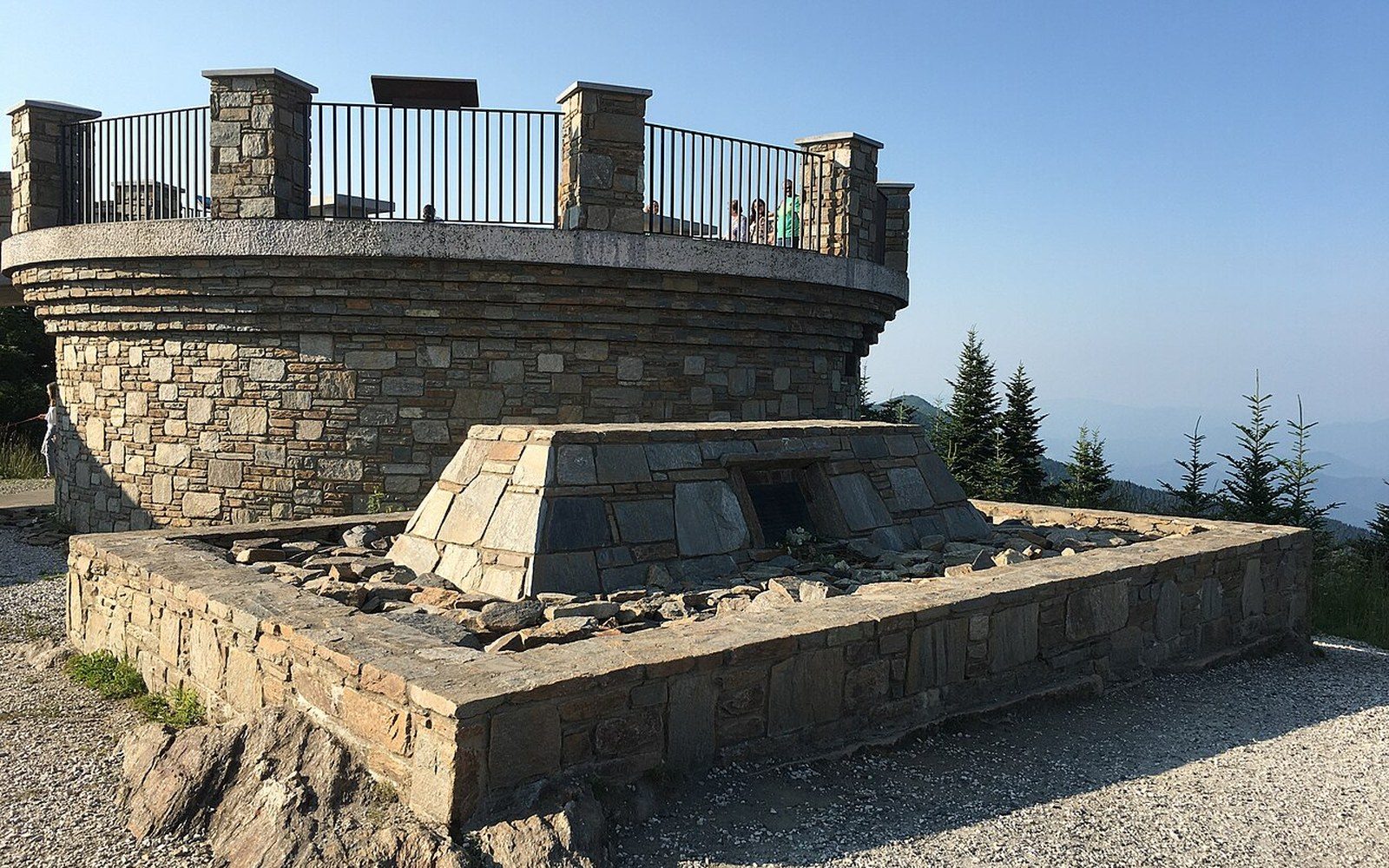
The summit today carries the evidence of everything that has happened since: a state park, a road that climbs to near the top, a tower for observation, and Mitchell's own grave under a circle of spruce and fir. The forest up there — red spruce and Fraser fir above roughly five thousand feet — is a relic community, isolated by elevation the way an island is isolated by water. The Fraser fir has been under severe pressure from the balsam woolly adelgid, an introduced insect pest, since the 1960s; the standing dead trees visible from the summit road are its work. The living forest recovers unevenly, younger fir regenerating beneath the ghost trees.
Mitchell measured the height. Clingman disputed it. Mitchell went back up and died. The mountain is 6,684 feet, it is the highest point east of the Mississippi, and the man who spent much of his life arguing for that fact is buried on top of it. The argument, in the end, is what the place is. The barometer readings are gone or contested; the grave is not.