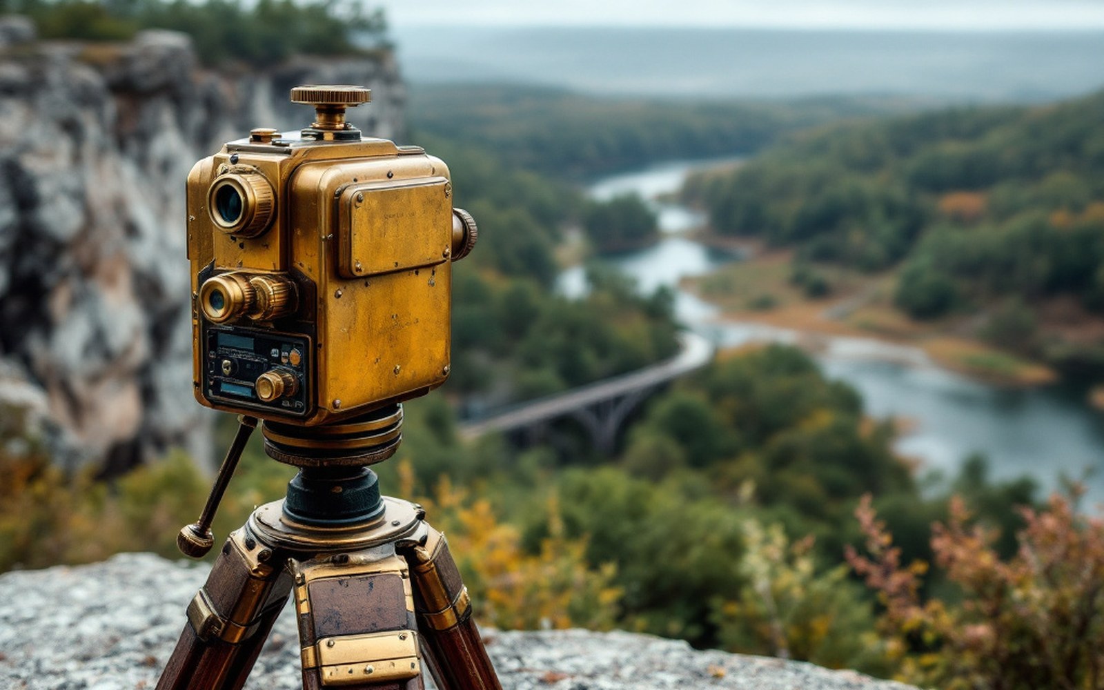
A professor, a congressman, a barometer, and a peak that one of them died on.
Before the instruments agreed, the argument was a human one. Elisha Mitchell, a professor at the University of North Carolina, had been climbing in the Black Mountains since the 1830s, recording barometric pressures and converting the readings to elevations. His method was standard for the era: compare pressure at the summit against a simultaneous reading at a known station below, apply the established formula, get a height. In 1835 he published a figure for the highest peak in the range that made it taller than any point yet recorded in the eastern United States.
Thomas Clingman, a congressman and former student of Mitchell's, had been making his own measurements in the same range. By the 1850s the two men were in open dispute — not just over which peak each had stood on, but over who had established the record first and whose numbers were to be trusted. The disagreement ran in newspaper columns and scientific journals and had the character of a personal quarrel dressed in the language of geodesy.
Mitchell returned to the Black Mountains in 1857 to settle the matter by remeasurement. He was sixty-three. He fell to his death from a waterfall, almost certainly at night and alone, and was found in the pool below it. The mountain was named for him the following year by the North Carolina General Assembly.
The numbers themselves were eventually resolved by survey. The United States Geological Survey and later precise geodetic work fixed the summit of Mount Mitchell at 6,684 feet above sea level — the highest point east of the Mississippi. Clingman's name, meanwhile, was attached to a peak on the Tennessee border: Clingmans Dome, at 6,643 feet, is the highest point in the Great Smoky Mountains and the highest point along the entire Appalachian Trail.

What the dispute exposed was the genuine difficulty of barometric measurement in mountain terrain. Temperature, humidity and the lag between readings at different elevations all introduced error. Mitchell's figures, taken across multiple visits and cross-checked against different base stations, were close enough to the modern value to vindicate his method, if not always his specific summit identifications. The mountain kept the number he fought for. He is buried on top of it.