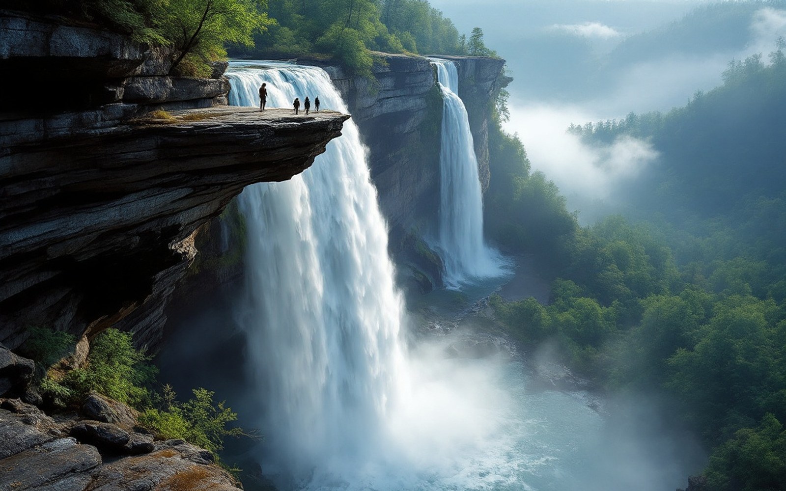
The Blue Ridge Escarpment is one of the sharpest elevation drops in the eastern United States — and one of the wettest places outside the Pacific Northwest.
The Blue Ridge doesn't taper into the Piedmont. It stops. Over a horizontal distance of roughly twenty miles, the land drops more than three thousand feet from the high plateau to the Carolina foothills — a gradient steep enough that rivers don't meander down; they fall. This is the Blue Ridge Escarpment, and it operates as a physical dam against the atmosphere.
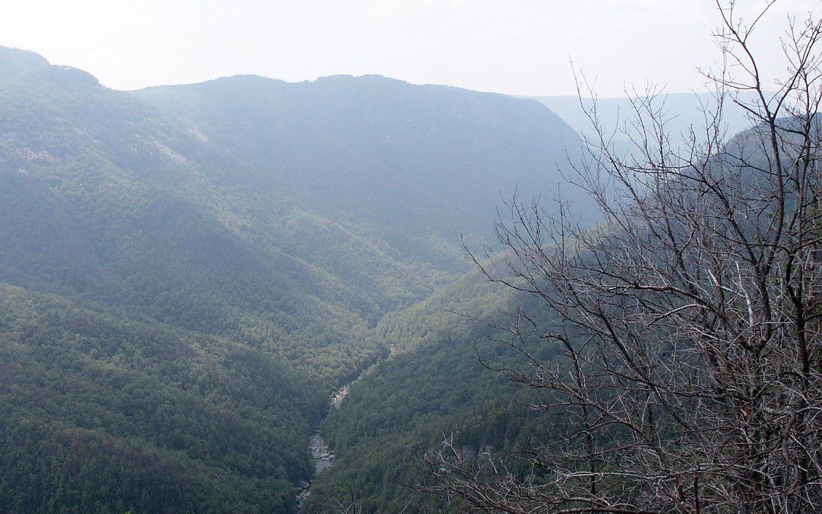
When humid air masses push inland from the Gulf or the Atlantic, they meet that wall and can only go up. As they rise, they cool, and cooling air holds less moisture. The result is orographic precipitation — lift-triggered rain, wrung out along the ridgeline before the air can continue west. The mechanics are the same ones that soak the windward slopes of the Cascades; the scale is smaller but the effect on the landscape is not. Transylvania County, which sits hard against the escarpment's base, records annual rainfall in the range of eighty inches in some valleys, and local gauges have measured over a hundred inches in exceptional years. The county has marketed itself as the Land of Waterfalls — a piece of tourism language that turns out to be literally defensible. Estimates by geographers and park planners place the number of named and measurable cataracts within the county above two hundred and fifty.
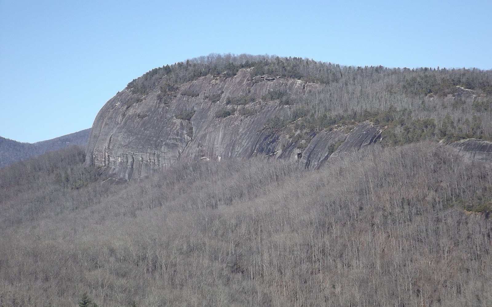
The escarpment isn't a single cliff. It is a system of layered ridges, shelves and gorges cut by rivers racing to lose altitude. Looking Glass Rock rises from this terrain — a dome of Henderson Gneiss exposed as the softer rock around it eroded, polished on its upper faces by water that sheets off it for most of the year. Far to the northeast, Linville Gorge drops steeply from rim to river, a cut so abrupt that the Linville River's character changes entirely within its walls: shaded, fast, cold.
The rivers feeding these gorges are short and young in geomorphic terms — they don't have the time or gradient to deposit sediment peacefully. Instead they carve. The rock they work through is ancient metamorphic material: gneiss, schist, quartzite, amphibolite. Hard rock slows the carving but doesn't stop it; where a river finds a softer seam or a fracture plane, it drops fast and leaves the harder walls standing. That's the mechanism behind nearly every major waterfall on this side of the ridge: differential resistance, written in stone over millions of years of undercutting.
All that water produces an unusual ecological concentration. The cove hardwood forests in the sheltered gorges — tulip poplar, basswood, white ash, Carolina silverbell — reach canopy heights and trunk diameters that signal old-growth conditions in many protected hollows. Bryophytes colonise every damp surface; botanists conducting surveys in the gorges of this region have documented moss and liverwort communities comparable in density to those found in temperate rainforests. The humidity gradient from ridge to river bottom compresses multiple ecological zones into a short vertical distance, which is part of why the southern Blue Ridge carries one of the highest levels of temperate biodiversity on earth.
The escarpment also acts as a refugium. During glacial periods, when ice advanced from the north, species that could no longer survive the northern Appalachians retreated to these gorges, which retained enough thermal stability and moisture to serve as pockets of persistence. What you see in a Transylvania County gorge today is partly a current ecosystem and partly a living record of what the continent kept.
The rain doesn't care about any of that. It hits the wall, it rises, it falls. But the wall has been here long enough — and the rain has been falling long enough — that everything in the gorge below has arranged itself around the fact of it.