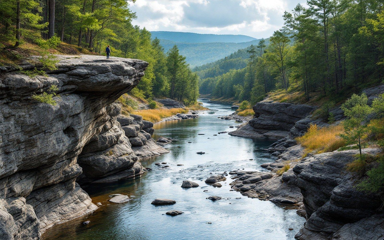
It runs the wrong way, cuts across mountains that rose around it, and carries water older than the Appalachians themselves.
The name is a trick. The New River is among the oldest rivers in North America and possibly one of the oldest in the world — estimates place its origins in the Mesozoic, perhaps older, which makes it a contemporary of the supercontinent Pangaea's breakup rather than anything the European settlers who named it would have recognized as geologically recent. The name almost certainly came from a surveyor's usage: it was new to them, a river not yet on their maps. The landscape it occupies is older than their civilization by an order of magnitude no colonial imagination was equipped to reckon.
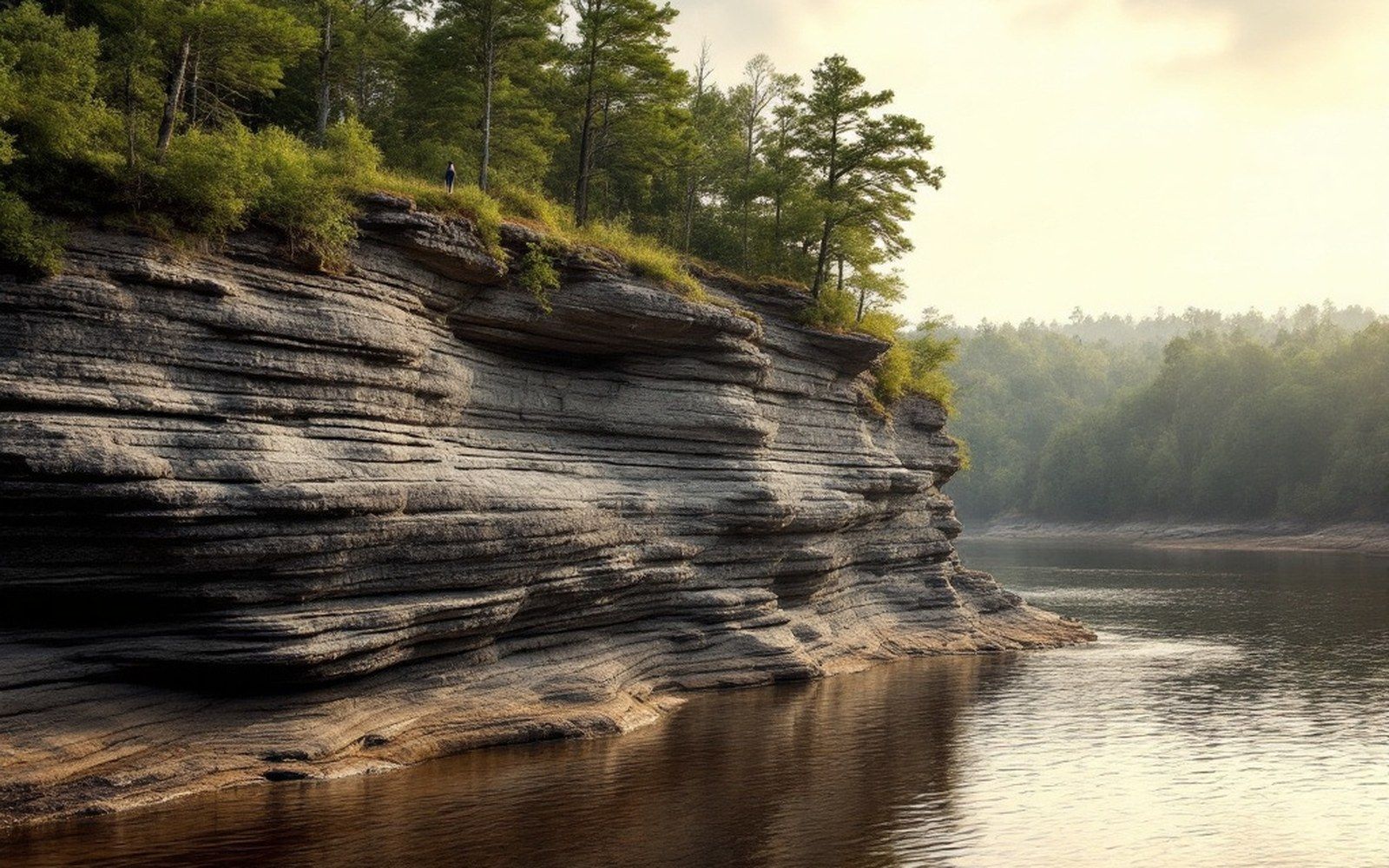
What marks the New River as anomalously old is what it does to the mountains. Most rivers in the southern Appalachians run with the grain of the range — they follow the valleys, draining southeast down the Blue Ridge Escarpment toward the piedmont and the Atlantic. The New River does the opposite. It rises in the High Country of northwestern North Carolina, near the slopes of Grandfather Mountain and the Blowing Rock area, collects its South Fork and North Fork in Ashe and Alleghany counties, and then turns north. It crosses into Virginia, continues into West Virginia, and joins the Kanawha, which feeds the Ohio. The water from these Carolina highlands reaches the Gulf of Mexico, not the Atlantic.
That reversal is geological testimony. A river doesn't cut north across a mountain range unless it was already running before the mountains were fully raised. Geologists call this antecedence: the river maintained its course while uplift — slow enough, over tens of millions of years — built the ridges on either side. The New River kept cutting downward as fast as the land rose around it, which is why it now runs through terrain it appears, by any intuitive logic, to have no business crossing.
The New River's floodplain in Ashe and Alleghany counties is broad and flat by mountain standards — a pastoral corridor lined with farmland that sits incongruously calm between steep ridges. The river here meanders through bottomland at a gradient far gentler than its surroundings, a product of its age: it has had time to work the valley wide. Younger rivers cut V-shaped notches; an old river sprawls.
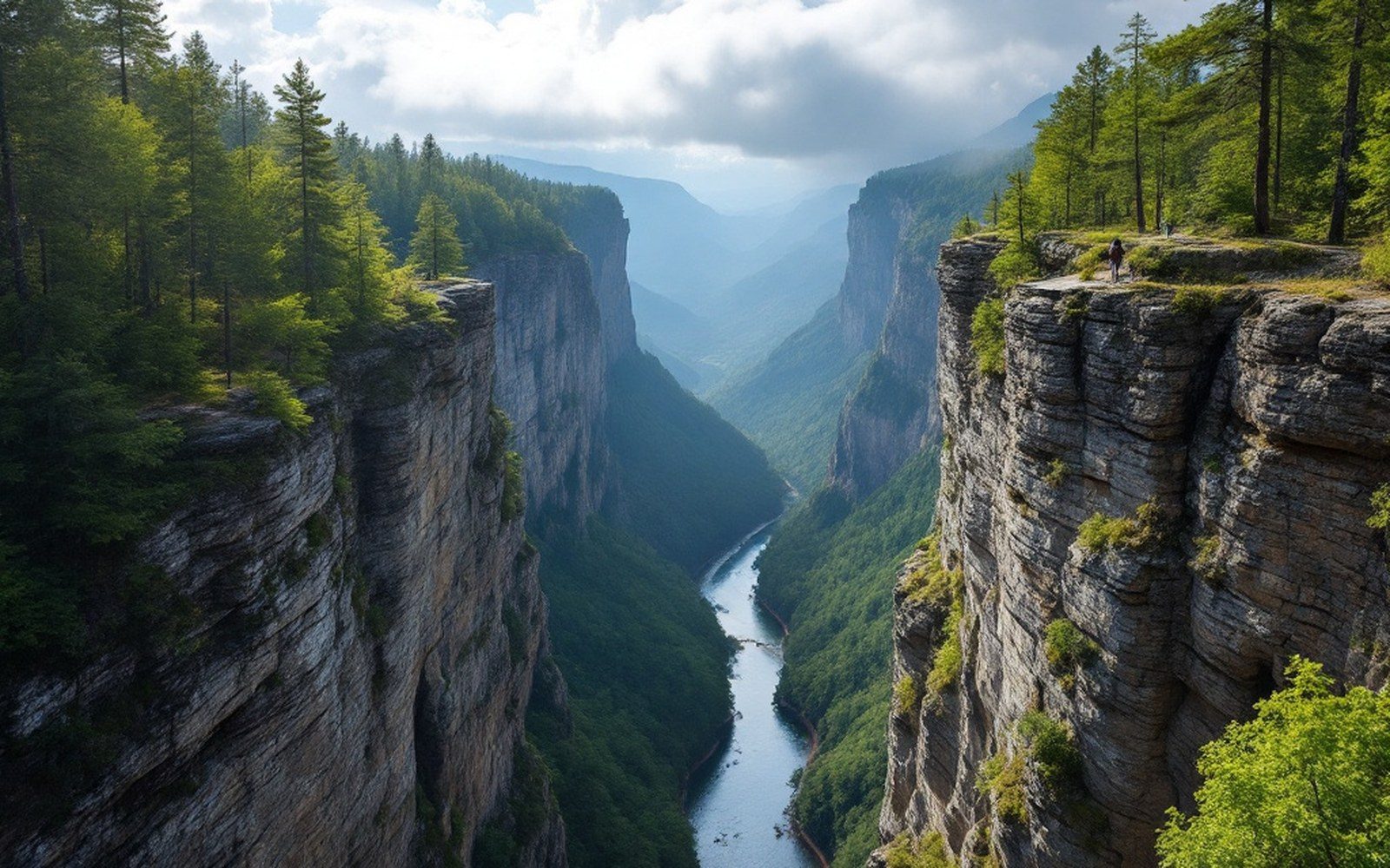
The valley also holds what the river has not yet removed. Outcrops along the gorge sections downstream in Virginia and West Virginia expose rock hundreds of millions of years old — some of the oldest visible in the eastern United States. The river is, in effect, a stratigraphic window, cutting through layers of time that would otherwise be buried.
The Civilian Conservation Corps and later the National Park Service shaped access to parts of the river corridor, but the river itself was recognized at a federal level in 1976, when Congress designated the North Carolina section under the National Wild and Scenic Rivers Act. The New River State Park in North Carolina administers the North Carolina reach, protecting the corridor through Ashe and Alleghany counties from the kind of development that might otherwise have followed the flat bottomland.
The biology of an old river is distinctive. Because the New flows to the Ohio rather than the Atlantic, its fish fauna belongs to the interior drainage — species of darters, suckers and minnows with affiliations to the Mississippi basin rather than the Carolina piedmont streams a ridge away. That division, invisible from the surface, runs along the Eastern Continental Divide, which the New River crosses. A drop of rain landing a few feet east of the divide ends up in the Cape Fear or the Yadkin; a drop landing west arrives eventually in the Gulf.
That is the strangeness of this valley: it looks like Appalachia, it sits inside Appalachia, but its water belongs to a different continent of rivers. The mountains rose, and the New River simply continued north, as it had always done, unimpressed by the new geography forming around it.